The Sleeping Beauty Trail – A Commanding Vista Above Trout Lake, WA

Sleeping Beauty Hike
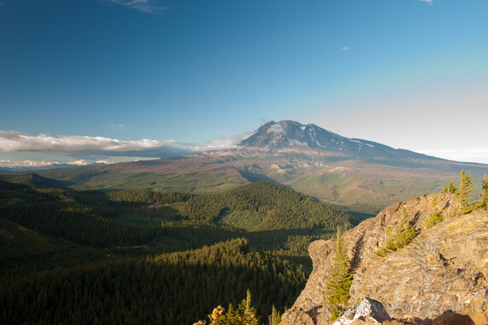
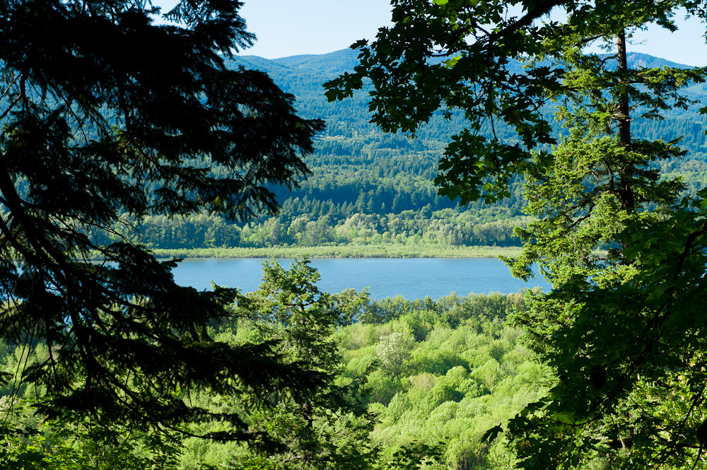
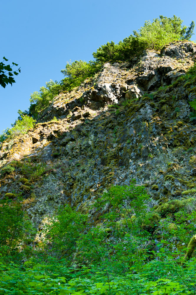
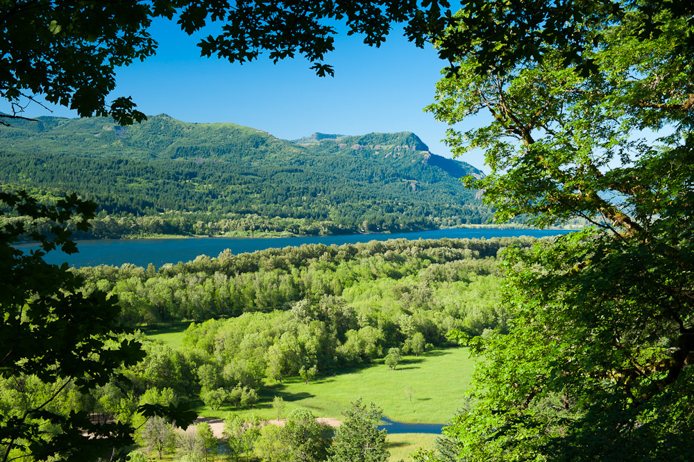
Sleeping Beauty is a bare rock outcropping perched high above the Trout Lake valley near Mt Adams. The hike is only 1.5 miles in length but gains over 1200 feet of elevation in that short distance. While some exertion is required to reach the top, the view is well worth it, offering incredible views of the Gifford Pinchot National Forest. The trail is open in early summer and closes around mid November. The name “Sleeping Beauty” was given to this rocky hill due to its resemblance of a sleeping woman when viewed from the town of Trout Lake. Curious Gorge explains this in deatil and provides photographic evidence.

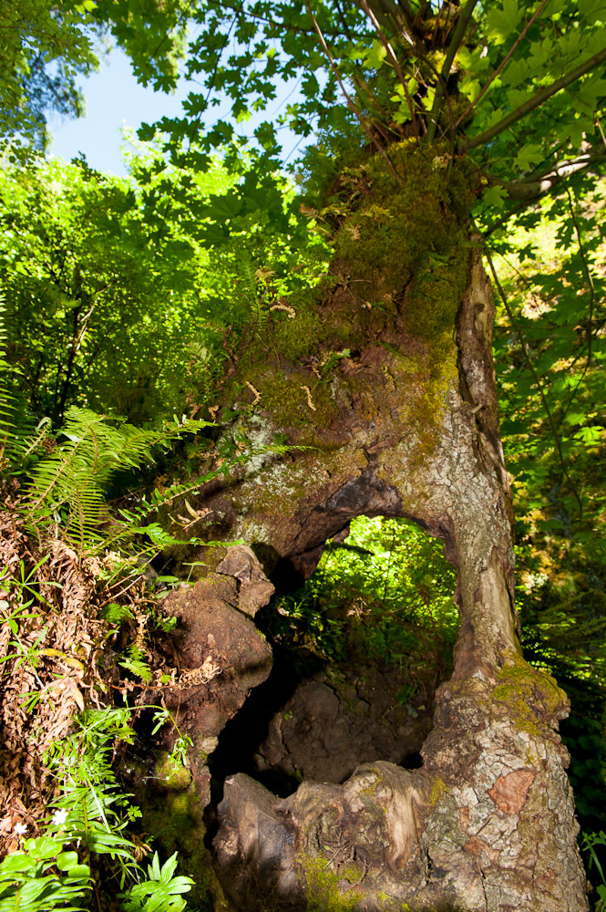
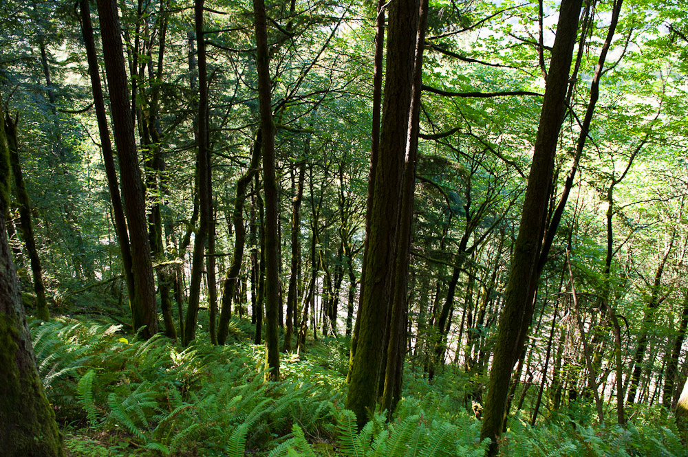
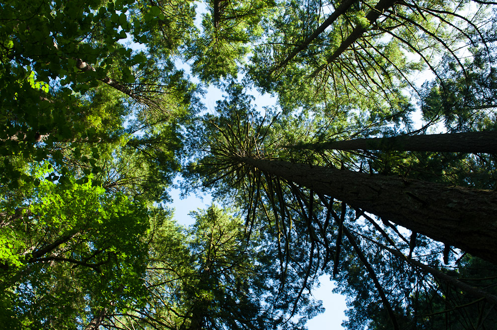
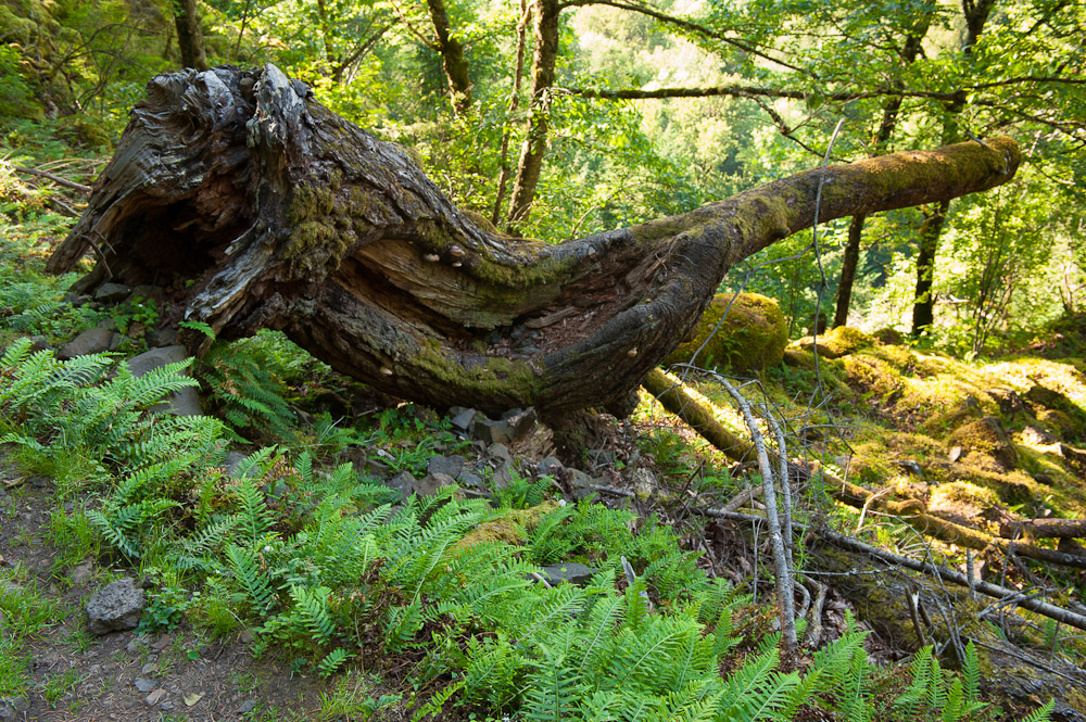
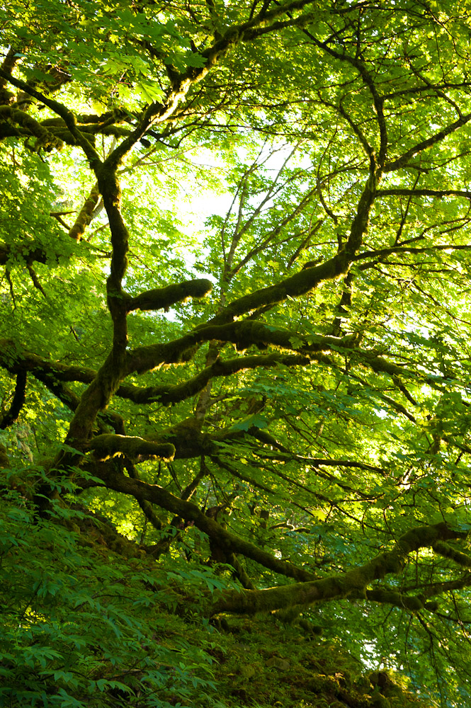
To reach the trail head, follow Trout Lake Creek Road out of Trout Lake and merge onto Forest Road NF-8810. Follow NF-8810 for 6 miles, turning right onto NF-040. I marked the exact location of the trail head in Google Maps. The trail begins in a heavy forest and starts gaining elevation immediately. In fact, the vast majority of the hike takes place under a heavy canopy, reserving the majestic views for the end of the hike.

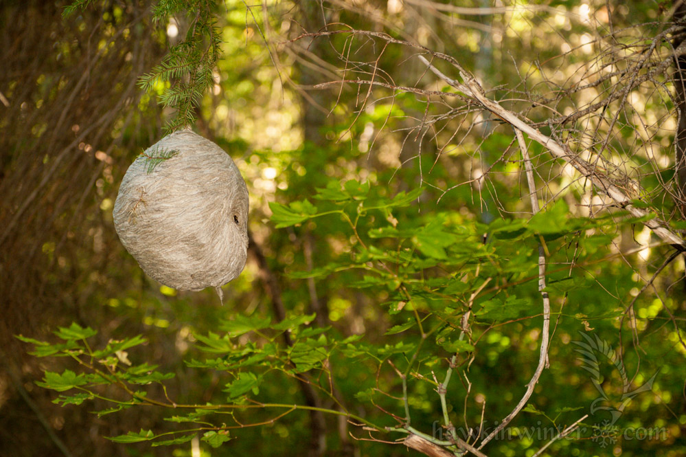
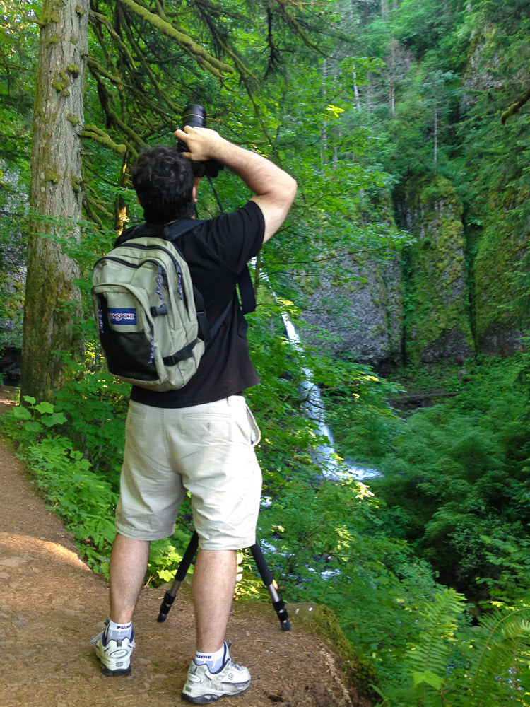
Shortly after departing, we encountered a paper wasp’s nest clinging to a pine tree, so I asked the group to wait while I “shot” it. Our friends didn’t realize I was referring to my Nikon, so they fled up the very steep trail expecting an angry swarm. After this hilarious misunderstanding we continued on uneventfully, stopping for water breaks as needed. We reached the timberline about 40 minutes later. Having hiked Dog Mountain, I believe these two hikes are very similar in their setting and trail composition, however this hike is shorter and perhaps not as steep. Both hikes offer amazing views at the end.

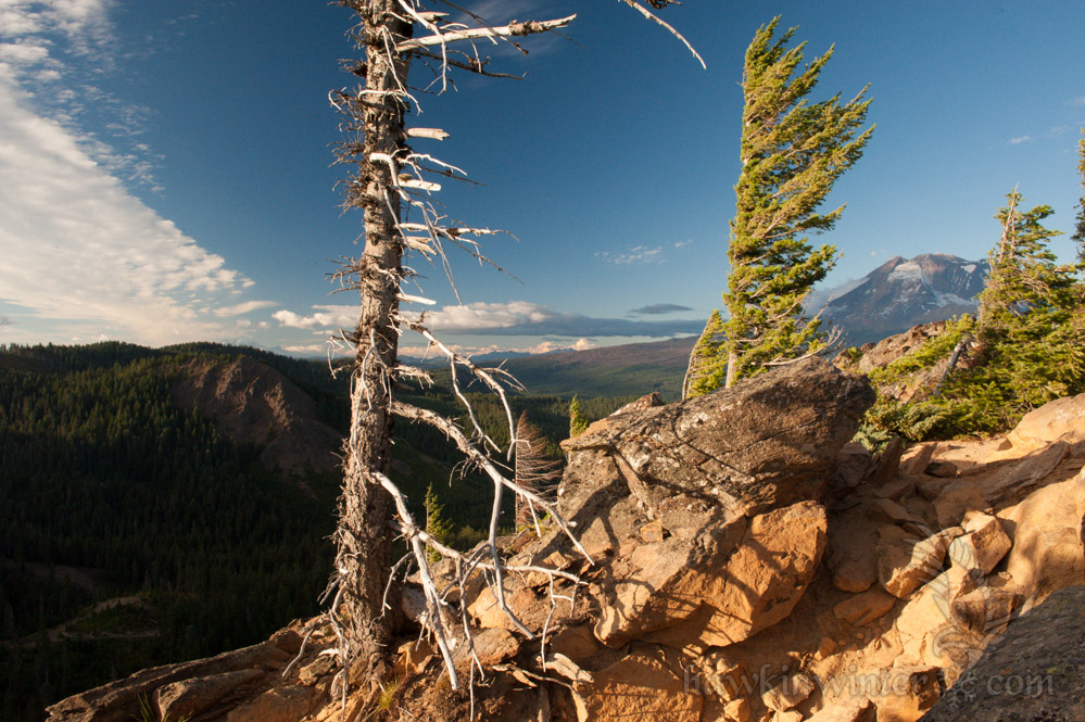
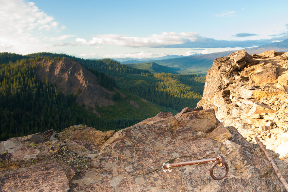
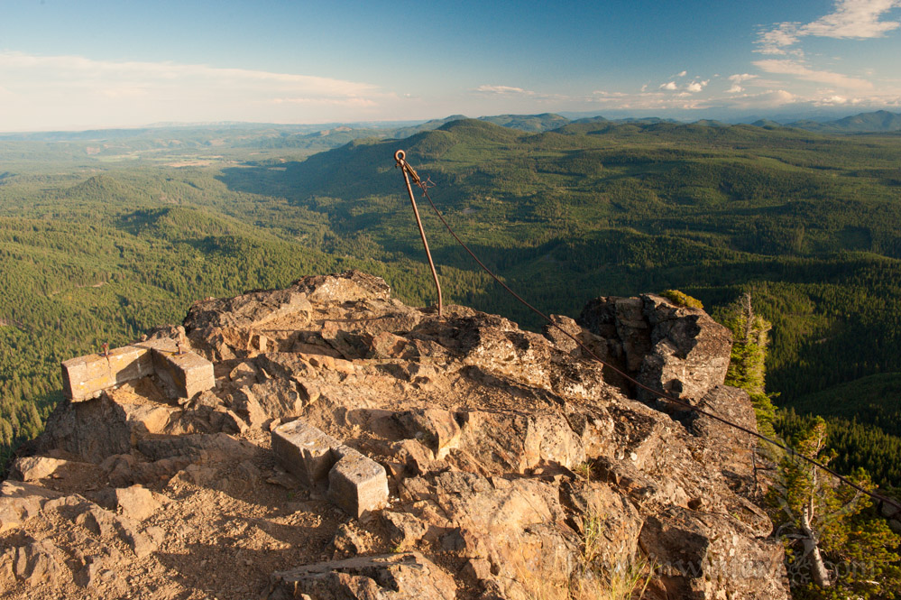
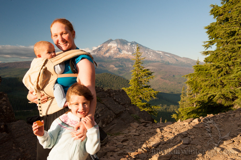
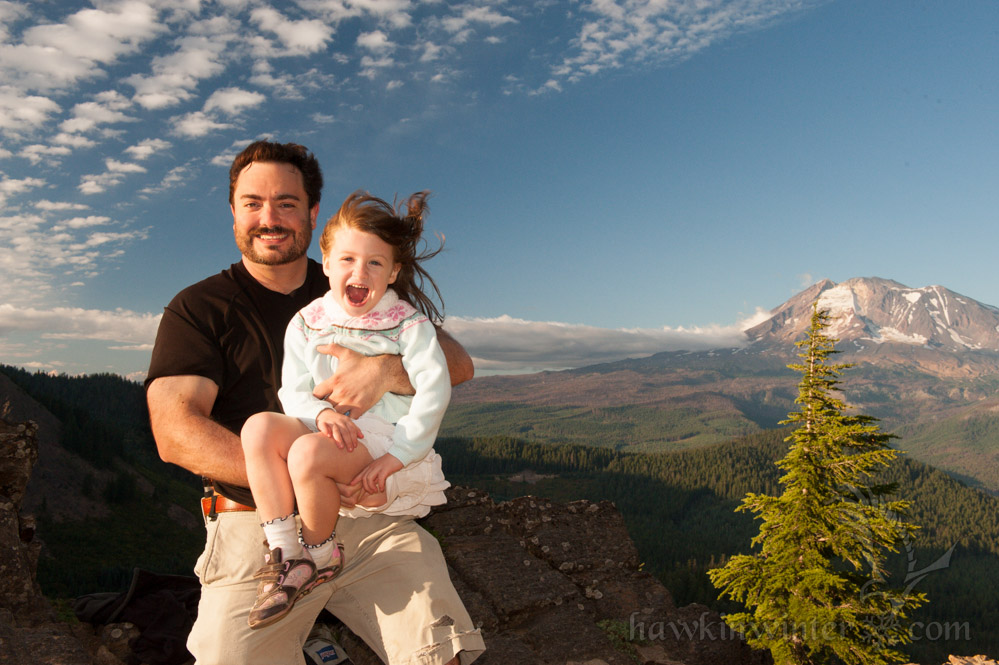
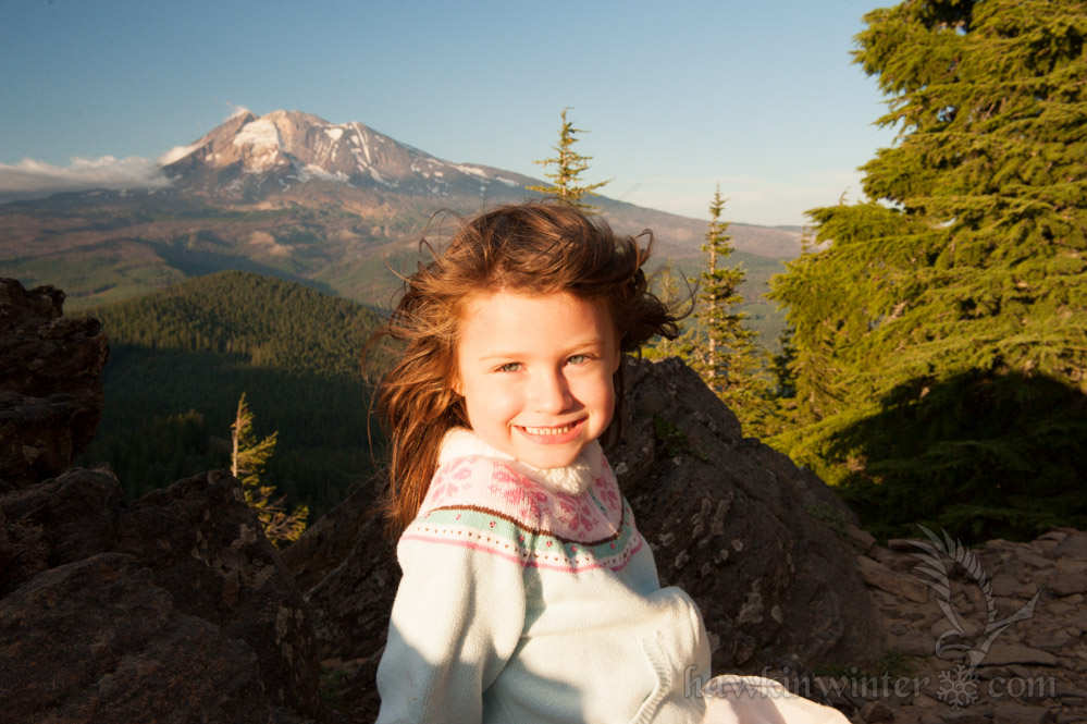
We started hiking around 4PM, so the sun was beginning to set by the time we reached the top, casting long shadows across the landscape and bathing the peak in golden light. We discovered a concrete foundation and some steel cables at the top. Apparently, the peak was home to a fire lookout that was destroyed in the 1960s. Today, all that remains are the foundation and a few anchor points drilled into the rock.

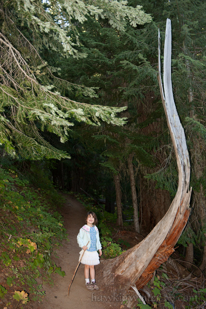
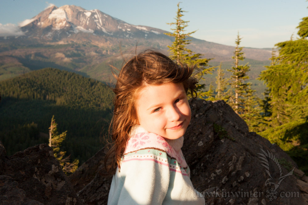
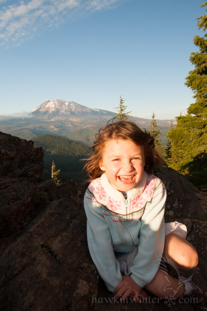
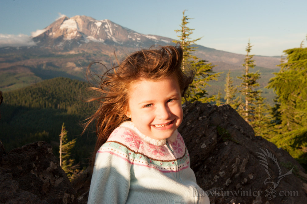
My daughter wanted to get a head start on her modeling career, so I was happy to help. After her photo shoot, we spent a half hour exploring the peak and enjoying the view before heading back due to dwindling light. I’ll definitely start earlier in the day next time I hike this trail.
Sleeping Beauty Hike

The Falls Creek Falls Hike – A Hidden Gem in Washington’s Gifford Pinchot National Forest

Cute kid with big backpackMy parents were in town this week for my son’s baptism. With the baptism behind us, my mom wanted to hike one of our many trails since she has only seen the amazing Gorge scenery from the freeway (and the air). Originally, I considered taking her to Horsetail Falls and pushing farther to reach Triple Falls. She vetoed that idea when it became apparent the hike would take more than a few hours. This led me to search for some alternatives and I was fortunate to stumble upon Falls Creek Falls, an easy 3.4 mile round-trip with an impressive waterfall at the end. While most of the local waterfalls can be found on the Oregon side of the Columbia River, this one is located in Washington near the town of Carson. The trail head is very accessible and provides an ample parking lot and bathroom.

The trail follows Falls Creek up a gentle slope to the base of the waterfall, approximately 1.7 miles from the trailhead. The path is well groomed and provides multiple access points to view or wade in the creek, though I wouldn’t recommend the latter. My daughter tried this only to be met with frigid water that left her extremely uncomfortable. Yes, it’s August and the water is still frigid. She is adventurous, but also observant and pays attention when I point out potentially dangerous areas. There are a few spots on this hike where the cliff leading down to the creek increases in height and slope, necessitating hand holding and careful treading. If your kids are willing to take your hand and listen to words of warning, I’d recommend this hike as mostly family friendly.

Mirror surface and still creek. [Read more…]

Hiking the Horsetail Falls trail to Oneonta Gorge

Horsetail Falls (I can't choose which angle I like more)Horsetail FallsThis year for my wife’s birthday, we hiked the Horsetail Falls trail to Oneonta Creek. We started late in the day, which  limited our hiking time, but simultaneously provided gorgeous light for late afternoon photography. In fact, the Horsetail Falls Trail, when hiked its full length, passes by Middle Oneonta Falls and Triple Falls. I’m looking forward to returning in late Autumn to shoot Triple Falls accented by yellowing Bigleaf maples.

The trailhead is located fifty feet or so east of Horsetail Falls. This waterfall is adjacent to a parking lot, making it a popular destination for tourists passing though the Columbia River Gorge. After photographing the falls, we were warmly greeted by a steep switchback and a decent elevation gain as we started our hike. The switchback ended at a connecting trail about 2/10 of a mile from Ponytail falls. The trail followed a cliff that offered amazing vistas of the Columbia Gorge 500 feet below. The lush foliage began to transluce as the sun set, casting long shadows and bathing the Gorge in golden light. Here delicate wildflowers clung to their precarious perch overhanging the windswept basalt cliffs.

Our daughter was sitting this hike out, spending time with a babysitter she adores. Gabriel, on the other hand, was very content on this, his first outdoor adventure. He fussed a bit as we neared Ponytail falls, quieting down as Momma fed him. I used this downtime to photograph the wildflowers and river vistas that the elevated trail provided. A lone monument to a 14 year old hiker who perished in 1988 from a fall can be found here. Every year recreation in the Gorge leads to deaths or injuries, so it is important to be well prepared when venturing into the wilderness and to be aware of the potential danger obscured by the alluring natural beauty.

Ponytail Falls is a hidden gem. Erosion created a pocket behind the falls that provides a very unique perspective. The trail curves around the bowl and behind the cascade itself, leading through an echo chamber that makes conversation difficult without a raised voice. The green moss and cold spray make this spot a relaxing refuge on a warm spring day.
The photo seems peaceful but the cascade made plenty of noise

We followed the trail past Ponytail Falls until it started to lead west, high above Oneonta Gorge, a narrow slot canyon that makes for a memorable hike. We paused at the top of Lower Oneonta Falls, though it was completely obscured by the heavy fern canopy. At this point, with the sun setting, we decided to turn back, saving Triple Falls for another day. We ended our day at Pfriem Brewery and sampled their brews while reflecting on the hike.

Hiking Near Lake Lenore and the Grand Coulee Dam

I drove up to Grand Coulee to visit an old friend from college, Kylee. We were engineering students at Cal Poly where she earned her mechanical engineering degree. Now she’s working at the Grand Coulee Dam on temporary assignment through the end of the year. In addition to giving me a tour of the dam, we also ventured off into the surrounding wasteland for a hike near Lake Lenore.

The landscape of Northeastern Washington is dry, hot and barren, but strikingly beautiful as well. The land was created by fire and shaped by water over millions of years:

  • 40 to 60 million years ago: Granite bedrock formed deep in the Earth’s crust, eventually being uplifted to form small mountains and an inland sea.
  • 10 to 18 million years Ago: The Grand Ronde Rift experienced a series of volcanic eruptions which filled the inland sea with basaltic lava.
  • 2.5 million years ago: The Pleistocene glaciation covered much of North America with ice sheets, which blocked the Columbia River causing it to divert to the south, creating a channel which would eventually become The Grand Coulee.
  • 18,000 years ago: Glacial ice advanced to block the Clark Fork River drainage in present day Idaho, creating a massive lake which covered much of Montana. The natural ice dam failed, releasing roughly 500 cubic miles of water in 48 hours. This process is thought to have occurred periodically resulting in a cataclysmic event that we now know as the Missoula Floods.

[Read more…]

Hiking Oneonta Gorge

TrailheadMy wife and I celebrated our 5th wedding anniversary with a hike to Oneonta Gorge. The weather was perfect with a bright sunny day and an ambient temperature of 85 degrees Fahrenheit. Little Red Hen had visited Oneonta Gorge as a teenanger and since then she had dreamed about coming back one day with a sweetheart. This was a perfect opportunity as her friend offered child care for our little Fuss Nugget.

Oneonta Gorge is a unique trail. It’s not very long or complicated, nor is there much elevation gain. This trail is unique in that the creek itself is the trail. In the summer months, when the temperature is warm and the water levels are low, it’s possible to hike from the trail head to a majestic waterfall over a distance of less than a half mile. The gorge itself is a narrow slot canyon with very high walls, providing excellent shelter from the sun. The cold water of the creek, shade provided by the high walls and the cool breeze blowing through the canyon make this spot an ideal respite from a hot day. [Read more…]

Our Trip to the Olympic Peninsula

Dosewallips RiverMy wife and I have been exploring the Pacific Northwest since the day we started dating. We’ve seen much of Washington and Oregon and will probably drive to Idaho and Montana this summer. This particular weekend, we spontaneously decided to explore the Olympic Peninsula and venture into the Olympic National Forest in an effort to photograph some of regions immense beauty. My friend Adam suggested we also spend some time in Port Townsend, a little artsy community on the northeastern tip of the peninsula. I spent Friday planning the trip with Google Maps and the Washington State Parks and Olympic National Forest homepages. We also bought a pair of coolers, important gear missing from our camping supplies. I grabbed my old boy scout dome tent, packed the jeep and headed west. [Read more…]

Crater Lake Road Trip

Little Red Hen and I spent the weekend of the 4th in Oregon as we drove down to Medford to visit my sister and see Crater Lake. In fact, earlier in my blog I posted a picture of the lake as I flew over from 35,000 feet. After showing this picture to Theresa, we both agreed that we had to go back (we’ve both been before, but many years ago).

Crater Lake Road TripWe decided to leave on Saturday and arrived in Shady Cove (near Medford) just in time to attend my sisters church. She goes to the Red Rock Cowboy Church which originally started out as a church service at the local rodeos but eventually settled down to its current location an old barn that has been converted into a church. The service itself was enjoyable and involved a lot of country worship songs, cowboy hats and guitars. During the collection they passed around a cowboy hat for donations. We both agree that the epitome of the Red Rock parishioner was this old cowboy we spotted who sported a skoal ring, wranglers, a large Red Rock Cowboy Church belt buckle and an oxygen tube that he had to remove in order to smoke. [Read more…]

Snowshoeing at Snoqualmie Pass

So I’m in Washington again and this time I went back to Snoqualmie Falls and the Snoqualmie pass for a snowshoeing excursion. Now that I can cross snowshoeing off my list of things to do, I have to recommend it to all of you! Talk about fun – I’m definitely going back when I move up here next month. Snow might be melted by then but next year is just around the corner. Snowshoe rentals are not super-expensive, costing only $17 for the day. The State of Washington creates ‘sno-parks’ which are nothing more then parking lots plowed out of the snow cover and maintained for the duration of the winter. You have to pay a $10.00 fee to access these parks but they offer a pristine snow scape, ripe for the exploring. [Read more…]