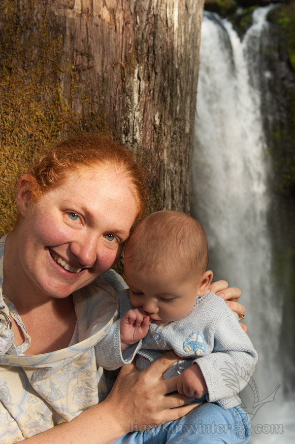
 My parents were in town this week for my son’s baptism. With the baptism behind us, my mom wanted to hike one of our many trails since she has only seen the amazing Gorge scenery from the freeway (and the air). Originally, I considered taking her to Horsetail Falls and pushing farther to reach Triple Falls. She vetoed that idea when it became apparent the hike would take more than a few hours. This led me to search for some alternatives and I was fortunate to stumble upon Falls Creek Falls, an easy 3.4 mile round-trip with an impressive waterfall at the end. While most of the local waterfalls can be found on the Oregon side of the Columbia River, this one is located in Washington near the town of Carson. The trail head is very accessible and provides an ample parking lot and bathroom.
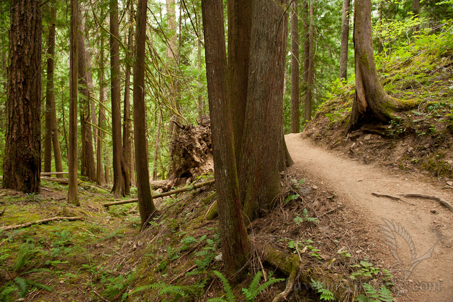
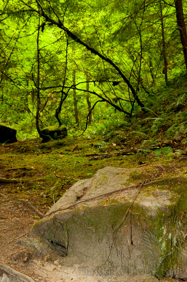
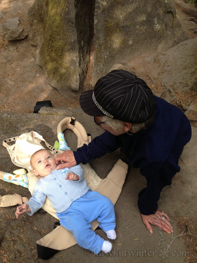
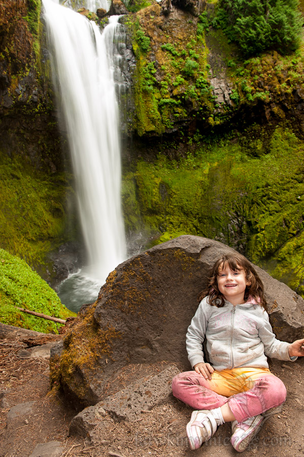
The trail follows Falls Creek up a gentle slope to the base of the waterfall, approximately 1.7 miles from the trailhead. The path is well groomed and provides multiple access points to view or wade in the creek, though I wouldn’t recommend the latter. My daughter tried this only to be met with frigid water that left her extremely uncomfortable. Yes, it’s August and the water is still frigid. She is adventurous, but also observant and pays attention when I point out potentially dangerous areas. There are a few spots on this hike where the cliff leading down to the creek increases in height and slope, necessitating hand holding and careful treading. If your kids are willing to take your hand and listen to words of warning, I’d recommend this hike as mostly family friendly.

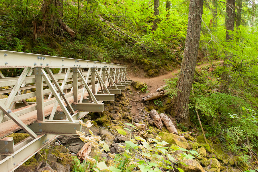
Near the halfway point the trail continues on the north side of the creek after crossing a suspension bridge. Though it didn’t apply to us, a sign is posted here warning mountain bikers to dismount and walk across. Those riding horses will have to continue on foot from this point as well, as the bridge is closed to “pack and saddle stock”. We posed for a few photos before continuing on, but not before my daughter made the bridge wobble as much as possible. The bridge also marks the point at which the trail starts to gain elevation as it draws near to the waterfall.

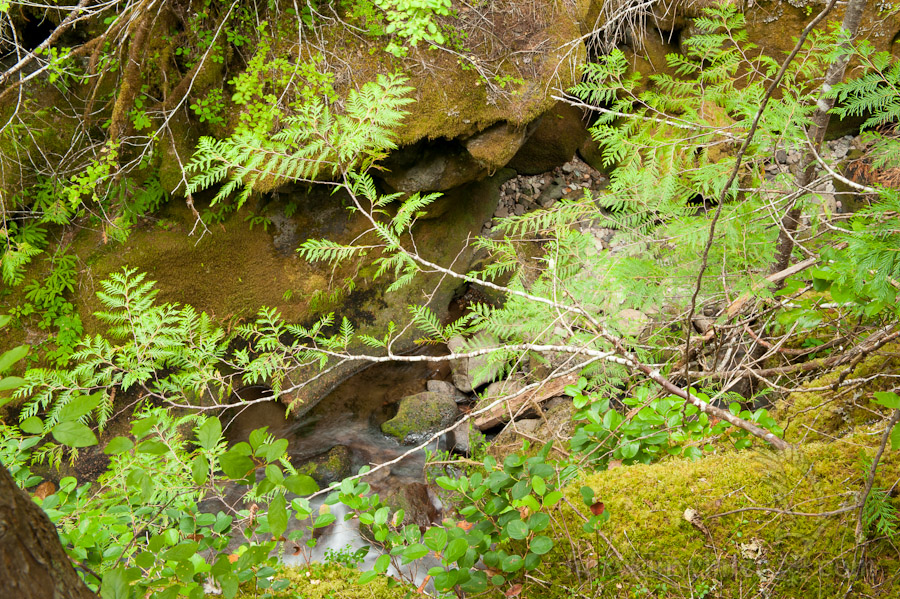
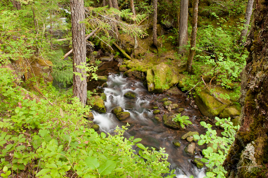
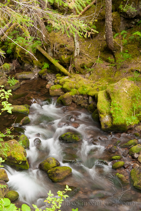
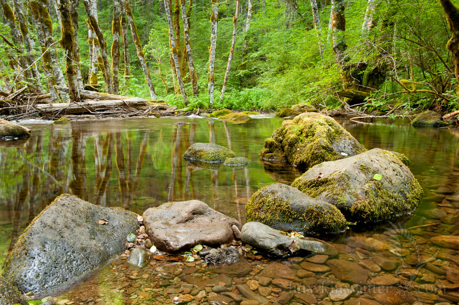
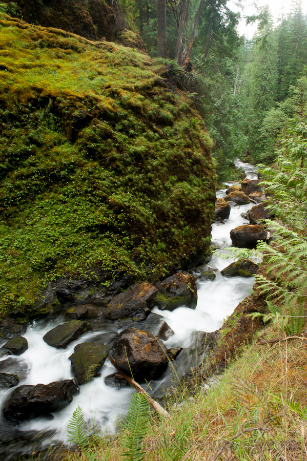
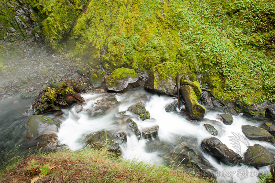
At one point, the trail leveled off, allowing us to walk down a gentle slope to the banks of the creek. I set my tripod on a solid boulder and shot photos for a solid fifteen minutes. While the creek was shallow and slow enough for a mirror-like surface near the trail head, it tended to narrow and gain speed as we ascended the trail. There were several other spots like this one, with noisy cascades signaling their presence long before we could see them.


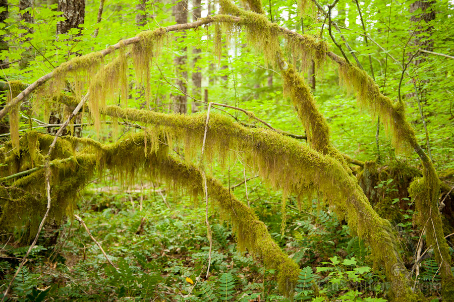
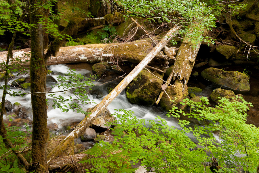
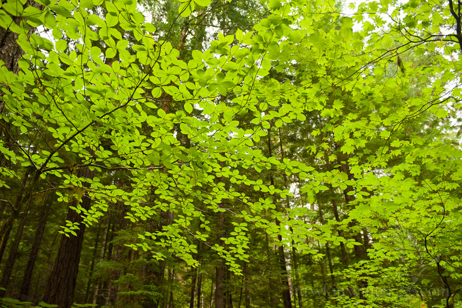
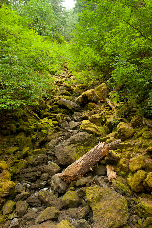
Once we reached the second bridge, we were only a quarter mile from Falls Creek Falls. This bridge crossed what looked like a seasonal creek that feeds Falls Creek. My daughter was starting to run out of steam here, so we took frequent rest breaks, which gave me an opportunity to seek out some creative photos. I was too focused on the ground to look up and notice the translucent leaves above us. My wife suggested I “Look up!”, which I did, and I captured the photo she had framed in her head. My daughter heard this and excitedly told me to “Look up, Daddy!” the rest of our trek up the mountain.

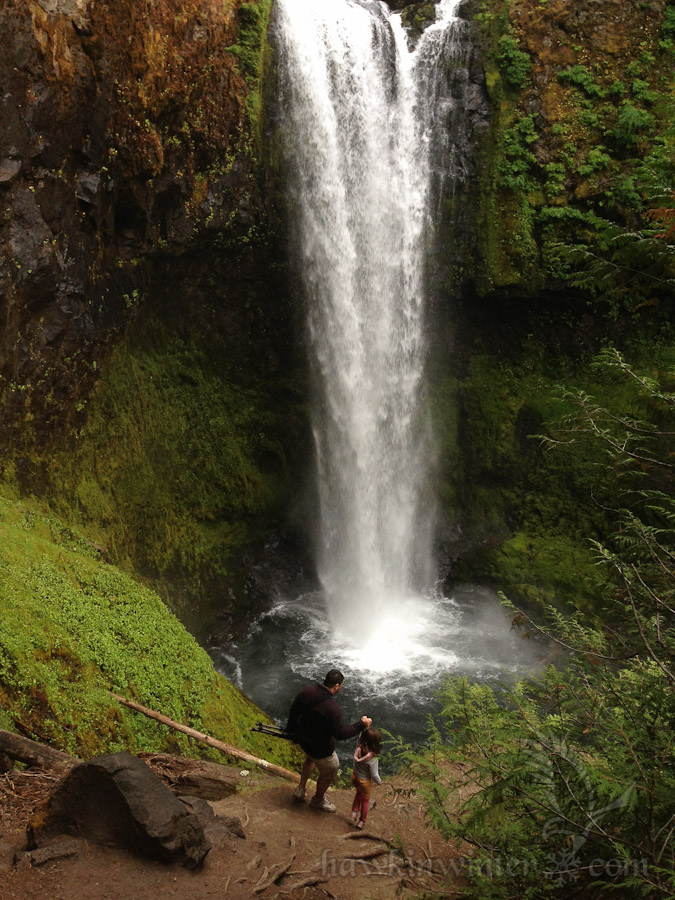
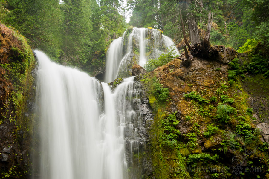
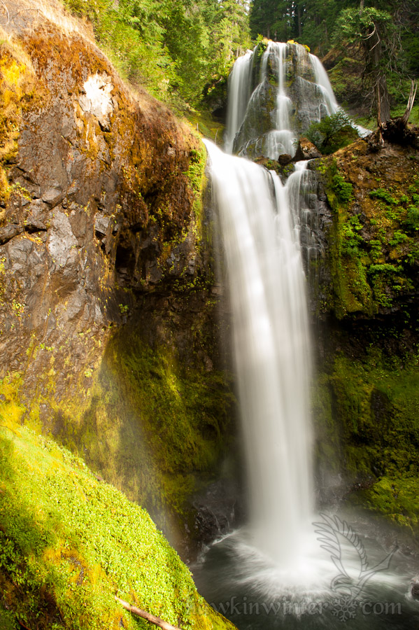
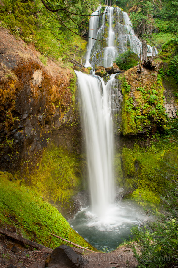
We could hear Falls Creek Falls a bit before we could see it, but we were not prepared for how impressive and beautiful this waterfall is. The sun was beginning to set and the clouds parted just enough that the falls were bathed in filtered late afternoon sunlight. A very faint rainbow could be seen as the sunlight pierced the spray from this impressive cascade. We spent a half hour here, taking in the view and taking photos.


Getting There
Some of the directions I found on the web were somewhat confusing. From the town of Carson, WA take Wind River Highway/Wind River Road/NF-30 to Meadow Creek Road/NF-30. After 0.8 miles, turn right onto NF-3062 and follow the signs to the trailhead. Eventually, you will turn onto NF-057 and the trailhead/parking lot is at the end of that forest road. This image from Google Maps should give you a better idea of where to go.
A Northwest Forest Pass is typically required at these trailheads, however this one had a sign posted stating that the site was free for now.